Our platforms
About us
Resources
Global FieldID
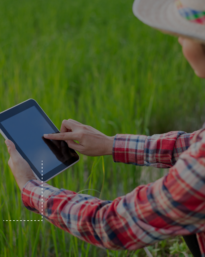
Simplify Farm & Field Data Sharing
Integration options
Discover how our technology offers versatile solutions


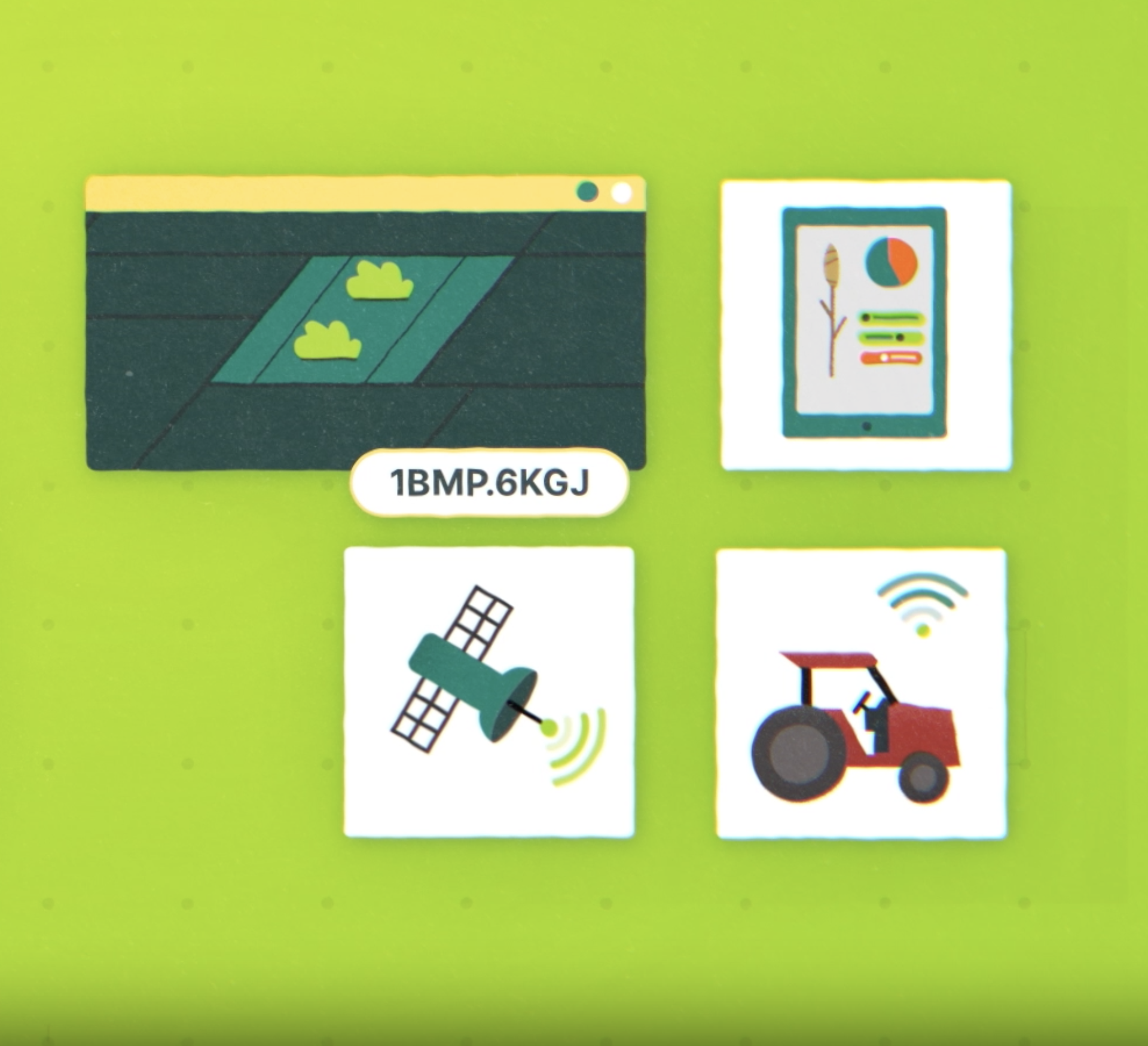
Open data initiative
Download country boundaries in bulk from our database, and use Global FieldID
to simply reference land plots in a standard way
Our goal is to make field boundary data easily accessible to provide the building
blocks of new products to support the transition to a nature-positive food system
France
9.000.000 boundaries
Global FieldID Coverage
Our partners


Frequently asked questions
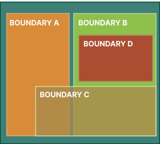
1. What is the difference between a field and a boundary?
|
FIELD
|
BOUNDARY
|
One Field ID can connect many boundaries IDs
Seasons
Harvest 2021, Harvest 2022, etc.
Users
User 1 of field 1, user 2 of field 1
Origins
Government LPIS, grower’s FMIS, earth observations
Practices
Delineated, Fertilizer, Harvest boundary, Etc.
FIELD ID 1
Boundary IDs are based on geometry and spatial delineation of a land parcel.
New boundary IDs are created within a field ID based on practise, season, user and origin.
Field ID is not tied tightly to geometry like a boundary ID.
It has a degree of permanence beyond seasons and retains history over time.
2. What is the relationship between fields and boundaries?
We have a 1-to-many relationship between fields and boundaries. However, each field always has one active boundary, defining its spatial footprint at a time, which must not overlap with any other field’s active boundary.
The Global FieldID product allows any number of boundaries to be registered, and thus any point on the map might have multiple boundaries representing specific operations.
The boundary of a field can change over time, but the history is retained using a link between the field and boundary, each of which has a timestamp. Any ‘old’ boundary is retained. This helps application developers to maintain an up-to-date view as boundaries change.
3. How does Global FieldID keep track of changes to fields over time?
The Global FieldID product tackles changes over time by decoupling the concept of the field and its boundaries and storing history.
There are two types of changes:
Changes to the boundary that don’t turn it into a different field.
- The old boundary ID is ‘deactivated’ (not deleted) and a new boundary is linked in its place (the date of the change is recorded). The field ID doesn’t change.
- Since the old boundary still exists with its own ID, use cases that depend on identifying a specific boundary are not impacted but are able to understand that the field itself has since changed.
Changes to the boundary that turn it into a different field (e.g., splits, merges, and farmland development).
- It is possible to ‘deactivate’ one or more field IDs and replace them with new fields, each of which has its own boundary (e.g., when a tree line is removed to create a larger single crop area, one new field ID can be created to replace the previous two).
- All applications integrating the Global FieldID product will be able to trace these events and access the history.
4. What is the relationship between fields and crop zones polygons?
A crop zone is identified as a boundary within the Global Field ID product (GFID). A boundary ID can be used to identify a specific area of land within the field because GFID also allows the registration of multiple boundaries.
5. Does Global Field ID support all kinds of different field shapes?
Yes. Alongside the primary boundary used to define the location of a field, there can be other types of boundaries, each used for a specific purpose. Even if there is a region within the field, spanning multiple fields or a region that is not part of any field, it can be identified with a boundary ID.
We will soon introduce the ability for API client applications to register such boundaries on behalf of their users.
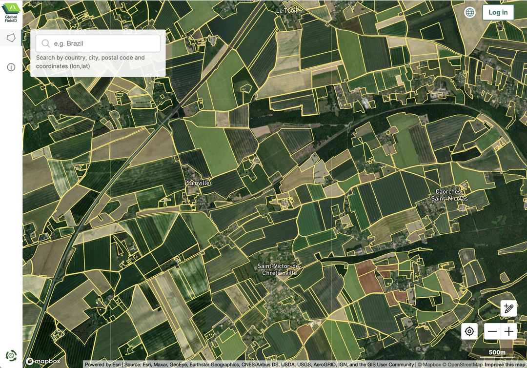
6. Where is Global FieldID available?
The Global FieldID™ service can be used to create identifiers anywhere in the world, by submitting a boundary. Users can directly draw or upload their own fields in our free web application, enabling a ‘crowdsourcing’ approach. In addition, co-operatives, retailers, ag-tech software vendors and other actors in the supply chain can also do this on their behalf, allowing the identity of the field and its spatial footprint to be shared across the supply chain and between all the systems the grower interacts with, no matter where the field is located.
However, the ambition of the Global FieldID™ initiative is to map all the world’s agricultural land and make this map visible to the whole industry. To accelerate this process, we actively source boundary data to ‘pre-map’ entire countries and regions using a combination of open government data (when available) and remote sensing techniques. You can see the countries for which we currently have significant coverage at the bottom of this page, and can access the data on our download hub.
7. Does Global FieldID plan to serve smallholder farmers outside Europe?
The Global FieldID product aims to have a complete set of boundaries for each country it covers.
Global FieldID™ is live in the UK, France, the Netherlands, Germany, Belgium, Poland, Italy, as well as the Nordic and Baltic countries. In 2023, we have also expanded it to include the US and Brazil. In 2024, in addition to coverage in Europe we have also been working to add smallholder geographies in Asia and Africa.
Furthermore, it is also possible to create field IDs by submitting boundaries from anywhere in the world, even without having done the rollout for that country. The user can either draw their field boundary on the map or upload a JSON file directly to the GFID user interface.
8. Does Global FieldID serve smallholder farmers?
Yes! The ambition of the Global FieldID™ initiative is to map all the world’s agricultural land including countries where smallholdings are prevalent, and our existing coverage is not limited to industrialized farms.
In smallholder markets fields can be more difficult to reliably delineate from space and therefore ‘crowdsourcing’ can be more effective. The Global FieldID™ service has been built to facilitate this process. Smallholders can directly ‘claim’ their fields by drawing or upload their own fields in our free web application. In addition, co-operatives, retailers, ag-tech software vendors and other actors in the supply chain can also do this on their behalf by integrating with Global FieldID™, helping to literally ‘put smallholders on the map’ as in countries that have already developed sophisticated land parcel identifications systems (LPIS).
9. Does Global FieldID store information about the field (e.g., carbon footprint)?
The Global FieldID API only collects metadata about the field itself and does not hold any type of data (e.g., data about farmers’ practices).
We believe that GFID should be an enabler for all, and not compete with existing data providers or farm management applications. It aims to be a “universal language” that ensures data exchange between applications and data discovery throughout the supply chain.